Mars Contours
the color of martian contours
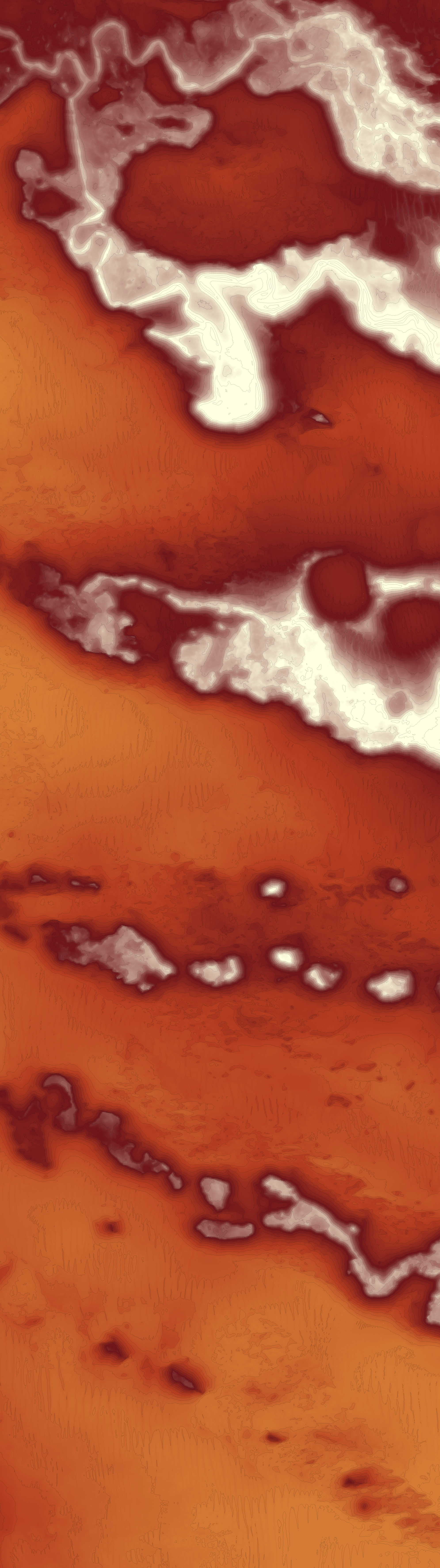
The first time I ever used QGIS, I wanted to try and make a stylized contour map of Mars.
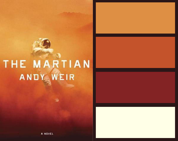
To generate the contours, I used a digital terrain model (DTM) of the InSight Mission Candidate Landing Site from the MRO/HiRISE instrument. I also made a four-color palette using the cover art for a book about eating potatoes on Mars.
Since it was my first time using QGIS, I just followed a very well-written tutorial and was quite pleased with the results.
- Posted on:
- January 1, 0001
- Length:
- 1 minute read, 81 words
- Categories:
- art
- Tags:
- mars
- See Also:
- Contour Art of Mars Topography